
SegX is a computational model for analysing how segregation is experienced through urban trajectories and the probability of social exposure generated by movement across street networks.
SegX moves beyond conventional residential measures of segregation by modelling how different social groups may encounter, avoid, or remain separated from one another as they move through the city. The model combines spatial data on residences, destinations, transport networks, and census areas to infer potential trajectories between origins and destinations, estimate interaction opportunities, and calculate levels of social diversity or separation along routes and street segments.
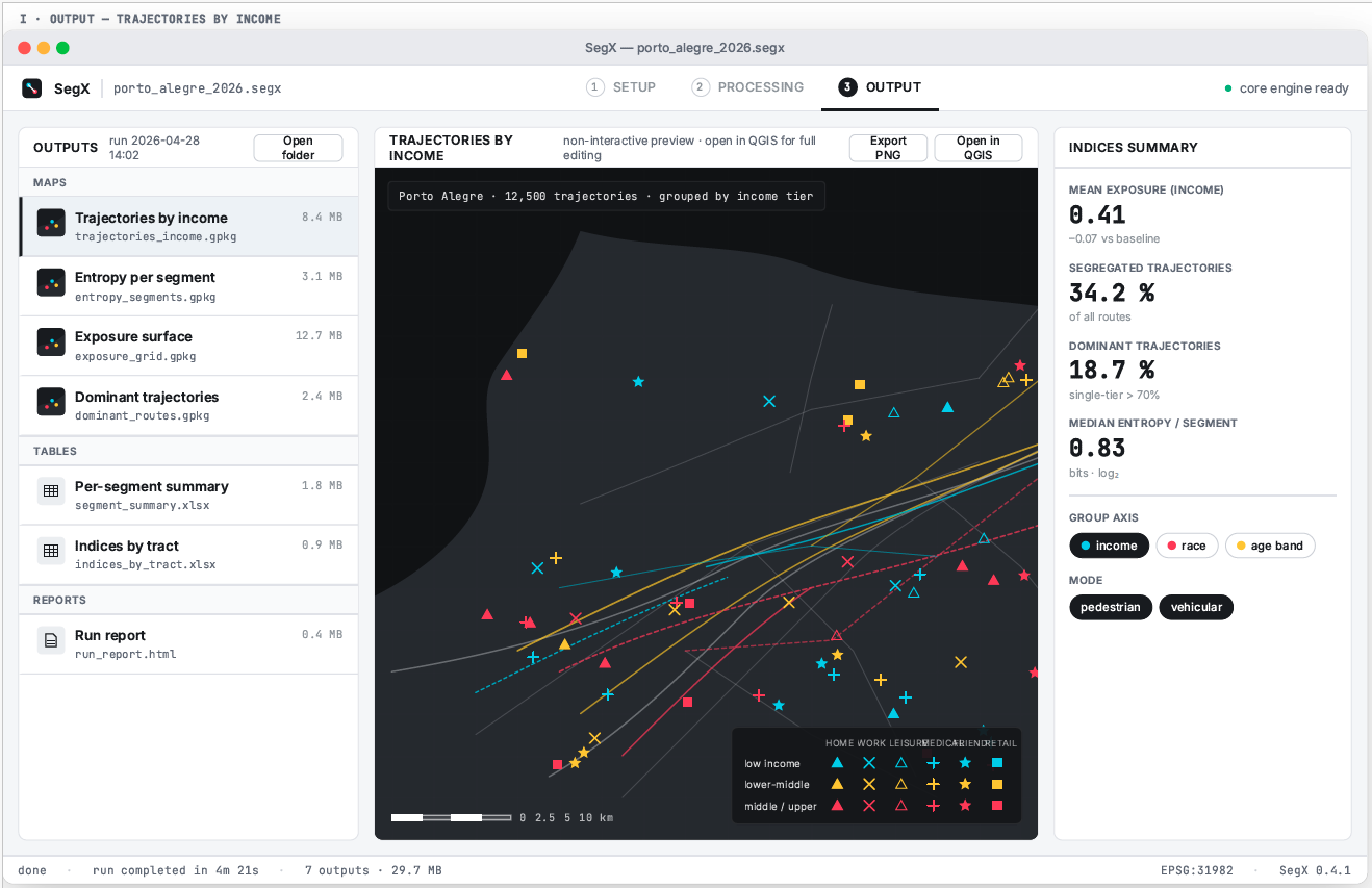
SegX: A computer model of segregation and exposure experienced in daily movement and activities
(Netto et al., ongoing work).
At its core, SegX uses both actual movement data and route inference — initially based on k-shortest paths — to simulate how people from different social groups may access urban destinations such as parks, supermarkets, health services, bus stops, workplaces, and community facilities. It then computes indicators such as Exposure probabilities, Segregated Trajectories, and Dominant-group Trajectories, to assess the degree to which movement patterns generate contact, separation, or dominance of particular groups in urban space.
The model produces geospatial outputs compatible with QGIS, analytical tables by street segment and scenario, and visualisations of trajectories differentiated by social group and transport mode. It is designed as an open, reproducible research tool, with documented source code and a standalone interface for preparing input data, running simulations, and exploring results.
SegX offers a framework for studying experienced segregation: not only where different groups live, but how they move, which urban opportunities they can reach, which groups they are likely to encounter, and how segregation is reproduced or transformed through everyday trajectories.