A spatial analysis tool for measuring segregation through the accessibility afforded to different social groups by street networks using zone-based (e.g. census) data.
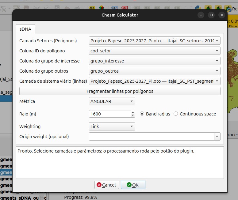
The QGIS Plugin for the Chasm measure (Saboya & Peres, 2025) streamlines its calculation by performing several operations using as input the street network and a polygon layer with data about the quantities of different social groups.
The plugin automatically assigns the quantities of social groups to the street network’s segments, weighing by their length, and creates a hypothetical non-segregated scenario of the same size, i.e., with the same quantities of the social groups.
Then, it employs sDNA to calculate configurational (closeness or betweenness) centralities for both scenarios and compares them to obtain the Locational Configurational Quotient (LCQ) for all social groups. Finally, it calculates the final Chasm measure.